
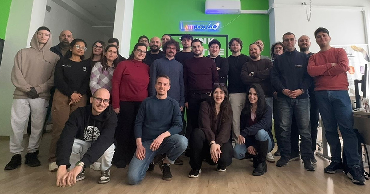
Latitudo 40, Italian innovative company operating in the Earth observation and geospatial analysis sector with the aim of transforming raw satellite data into climate and environmental metrics, has announced the completion of a capital increase totalling €2.9 million.
The funding round is led by Vertis SGR through the Vertis Venture 6 Digital Sud fund, which is partly financed by the European Union’s Next Generation EU programme, with participation from Kurrant Ventures and CRIF S.p.A. The new funding will support the company’s next phase of growth, with investments focused on developing the technology platform, strengthening research and development activities, and expanding into international markets.
The start-up's technology
Founded in Naples (Italy) in 2017 and a 'graduate' of the I3P incubation program since 2024, Latitudo 40 develops proprietary technologies that combine satellite imagery, Earth Observation data and artificial intelligence algorithms to transform large volumes of geospatial data into information that can be used in decision-making processes. The company operates through a technological ecosystem that includes EarthDataInsights, a geospatial analytics platform, and EarthDataPlace, a marketplace providing access to satellite data and products.
A key element of its growth plan is the development of a proprietary AI Foundation Model, which will be integrated into all the company’s solutions. The aim is to evolve Latitudo 40’s geospatial intelligence from an observation tool into a predictive decision-support system, along two technological strands: Agentic EO and Physical AI.
With Agentic EO, Latitudo 40 aims to develop artificial intelligence agents capable of autonomously querying, orchestrating and interpreting satellite, geospatial and environmental data, thereby reducing the complexity of accessing information and accelerating the transformation of data into operational insights. With Physical AI, the aim is to link the ability to understand the territory to the systems that manage cities, infrastructure and physical assets, enabling increasingly predictive and action-oriented applications.
The transaction also strengthens a financial and industrial structure capable of supporting Latitudo 40 both in its technological development and in gaining access to new markets. Vertis brings its expertise in venture capital and the development of innovative businesses in Southern Italy; Kurrant Ventures contributes its vertical specialisation in the digitalisation of smart cities and utilities, as well as an international network; CRIF strengthens the link with the world of data, analytics and digital services for the financial and corporate sectors.
The future of the project
Renato Vannucci, Vice-Chairman and Managing Partner of Vertis SGR, said: “Latitudo 40 is the sort of company we want to support through Vertis Venture 6 Digital Sud: a business founded in Southern Italy, with proprietary technology, distinctive expertise and an international target market. The company has built a platform capable of transforming satellite data into practical decision-making tools for cities, infrastructure and businesses. With this investment, we aim to support the company as it enters a new phase of growth, strengthening its international positioning.”
Gaetano Volpe, Founder & CEO of Latitudo 40, commented: “This capital increase marks an important step in Latitudo 40’s journey: from a platform that observes and interprets the planet to a technology capable of becoming increasingly integrated into the processes that are transforming it. With Agentic EO, we are building agents capable of autonomously combining and interpreting satellite and geospatial data; with Physical AI, we aim to connect this intelligence to the real world, helping cities, infrastructure and organisations to move from observation to action. The involvement of Vertis, Kurrant Ventures and CRIF provides us with capital, expertise and networks to accelerate product development, internationalisation and team growth.”
The new development plan aims to further strengthen the automation of the entire value chain, from data acquisition and integration to the generation of insights, right through to their translation into recommendations and actions. The ambition is to make geospatial intelligence more accessible, seamless and easily integrated into the operational systems of public administrations, utilities, infrastructure operators and businesses.


